
As a professor of Anglo-Saxon at the University of Oxford, J. R. R. Tolkien could not help but be inspired by the language and literature he studied and taught. As a result, his fictional world is infused with cultural material of the Middle Ages, particularly Old English language and literature. In this blog, I will regularly shed some light on the medieval in Middle-Earth, starting with the map of Thror.
Thror’s Map

Found in the front matter of The Hobbit, Thror’s map is for many readers the first glimpse at Tolkien’s fictional universe. A closer look soon reveals that this is no ordinary map. For one, its orientation seems off: the East is on top, North is on the left, West is on the bottom. Moreover, the map contains little drawings, such as a mountain, a dragon and a spider in a web, accompanied by such little texts as “there are spiders”. More obviously, perhaps, is the strange alphabet (discovered and identified by Elrond as ‘moon letters’) and the little hand on the left, pointing at more moon-ish letters. A strange map, indeed. Though not so strange, perhaps, for someone who is familiar with the Middle Ages.
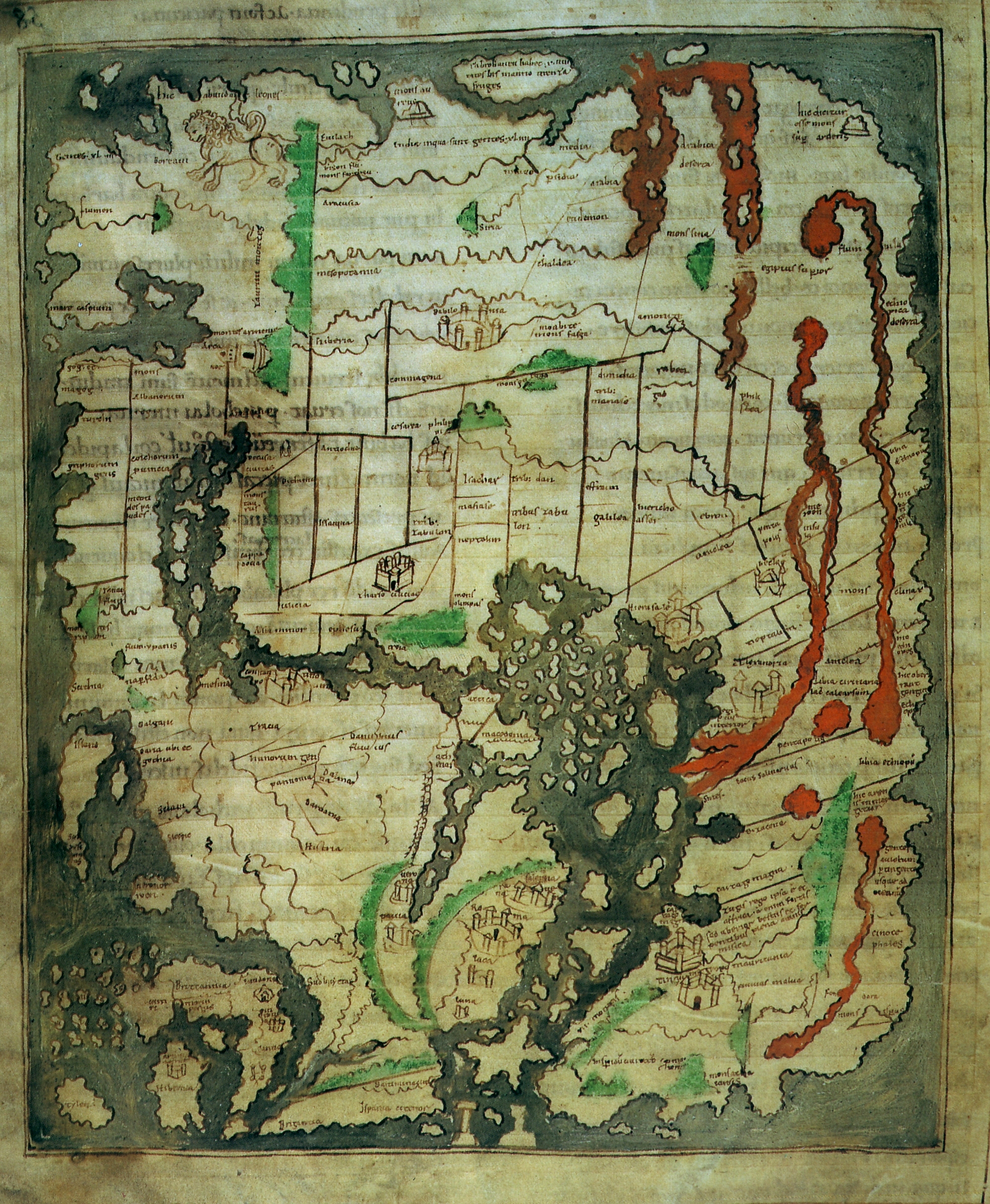
A medieval map: The Cotton World Map

This Anglo-Saxon map of the world, made in Canterbury around 1025-1050, shows a number of similarities to Tolkien’s map of Thror. First and foremost, the two maps share the same orientation: East is on the top, North is on the left and the West is on the bottom (you can clearly see this by looking at Britain in the bottom left corner!) – a standard feature of medieval maps (before the introduction of the compass, the East (where the sun rises) was the easiest direction to locate). Moreover, the Cotton World Map, like Tolkien’s, features several drawings, such as two little men fighting in the south of Britain, little drawings of cities like Rome and Jerusalem, and mountains (including Mount Ararat in Armenia with a little Ark of Noah!). Finally, the Anglo-Saxon map accompanies some of these drawings with descriptions; e.g., the drawing of a lion in China, where it says “hic abundant leones” [here are many lions] – not unlike Tolkien’s drawing of a spider, near the text ‘There are spiders’.
It is not inconceivable that Tolkien, in fact, drew inspiration from the Cotton World Map – its manuscript, Cotton Tibius B v, contains a version of the Marvels of the East (a catalogue of monsters), of which another version is found in the Beowulf manuscript that was so vigorously studied by Tolkien.

Strange script: Moon letters are Anglo-Saxon runes
The fact that only Elrond is able to decipher the moon letters might make them seem strange and ancient; they turn out to be a lot closer to home. Tolkien based his moon letters on the Anglo-Saxon ‘futhorc’, the runic alphabet used for short inscriptions on stone, wood and metal. Using the Anglo-Saxon runic alphabet, one can clear decipher the message on Thror’s map as “Stand by the grey stone when the thrush knocks and the setting sun with the last light of Durin’s Day will shine upon the keyhole”. The English reading of the runes is retained even in some foreign-language versions of The Hobbit, including the Dutch one.

Manicula: Little hands in the margins of medieval manuscripts
The little hand pointing at another set of letters (which, again, can be deciphered using the Anglo-Saxon futhorc) is reminiscent of similar little hands found in medieval manuscripts. These so-called maniculae were often added in the margins by readers to point out important pieces of text (see a highly informative blog here)- the little hand on Thror’s map serves a similar purpose.

To conclude, the map that serves as every reader’s introduction to Middle-Earth immediately gives away the medieval character of the fictional world it depicts. Welcome to Middle-Earth? More like welcome to middangeard!
The information in this post is slightly adapted from an article I published in the Tolkien journal Lembas (available here). In 2016, I will be teaching a course on Tolkien and the Anglo-Saxon World (more info here) and I am also involved in the organisation of an international conference on the theme ‘Tolkien among Scholars’, in association with the Dutch Tolkien Society Unquendor (more info here).

© Thijs Porck and Dutch Anglo-Saxonist Blog, 2015. Unauthorised use and/or duplication of this material without express and written permission from this site’s author and/or owner is strictly prohibited. Excerpts and links may be used, provided that full and clear credit is given to Thijs Porck and Dutch Anglo-Saxonist Blog with appropriate and specific direction to the original content.

Just a niggling, Thijs, but it’s not quite in every foreign-language version that the English reading of the runes on Thror’s Map is retained. It is true for the Dutch version, but not for the Frisian version, where Anne Tjerk Popkema translated every runic text, in the Author’s Note as well as on the map, into Frisian. There are, however, differences between printings, as the publishers had serious difficulty with runes, being unfamiliar with them. I know from Arden R. Smith’s reports in Vinyar Tengwar that the runic texts were also translated into Czech and Finnish, and from personal involvement that Michael Everson had all runic texts, including those in Tolkien’s design for the dust-jacket and those on the title page (present in some English editions), translated in to Irish Gaelic for that edition that he published.
LikeLike
Thanks, Harm! I stand corrected and will alter the post accordingly.
LikeLike